
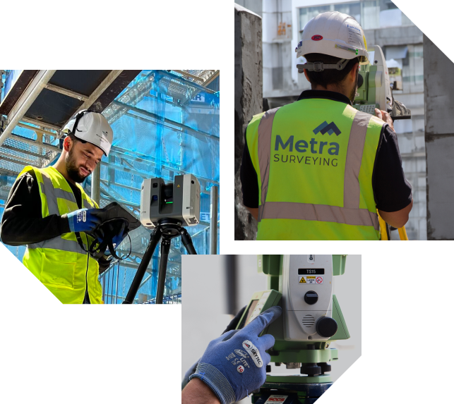
We specialise in measurement and surveying
Our Services

Setting Out
Create synergy between trades with reliable site gridlines and level datums. Our engineers also have experience in the setting out of concrete, cladding, steelwork, glazing, curtain-walling and more.

3D Laser Scanning
Save time on-site and see the full picture. We use Leica HDS laser scanners to capture quality point cloud data, which can be delivered for your use or processed by our team into drawings and 3D models.

Topographical Surveys
Completed using our laser scanners and total stations, enabling fast and accurate surveys to be completed of any landscape or urban area.

Site Control
Start your project off right with accurately established primary control. We can use existing points or create new GPS control stations to install control pins which last from project beginning to end.


Ferro Scanning & Ground Penetration Radar
Latest technology capable of identifying a variety of elements at different depths, from underground drainage to rebars within concrete.



Site Condition Survey
We take 360° photos across sites and produce a plan map showing the photo locations. This is the most efficient way of sharing site progress for the whole team.